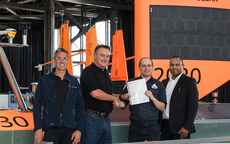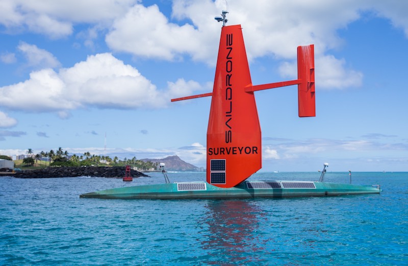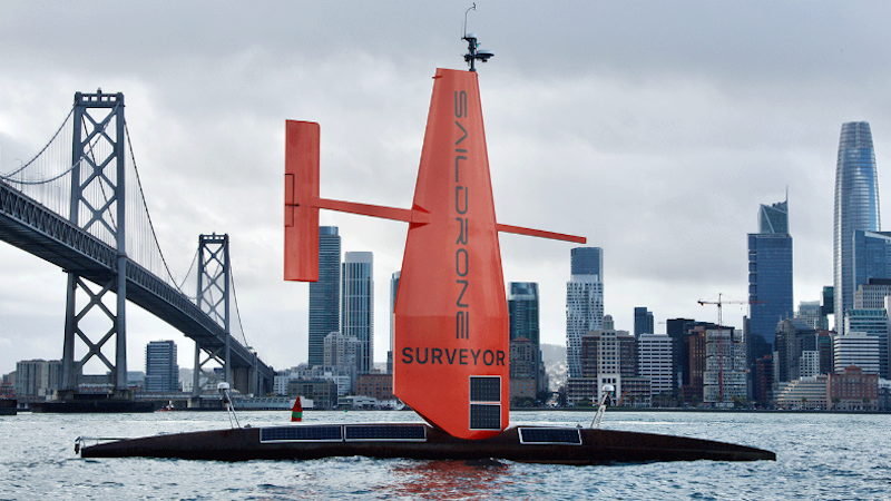
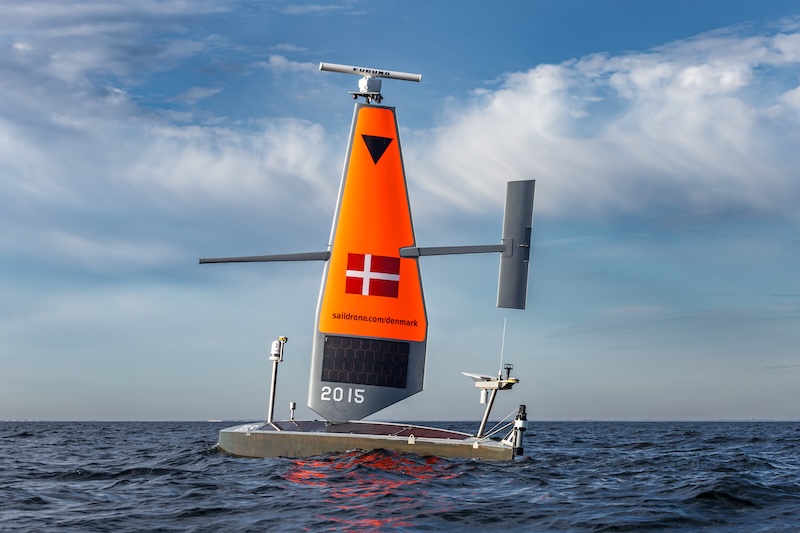
Saildrone, a specialist in autonomous ocean exploration, says it has successfully integrated and operated a sub-bottom profiler (SBP) on a Saildrone Voyager unmanned surface vehicle (USV).
The capability was first used in the Baltic Sea to monitor critical infrastructure and survey the seabed while supporting the Danish Ministry of Defence Acquisition and Logistics Organisation (DALO).
The Innomar Medium USV SBP is a parametric, high-resolution system designed to acquire full-waveform acoustic data that reveals the structure, layering, and composition of the seafloor and sub-seafloor. [Read more…] about Saildrone adds seabed imaging capability to autonomous Voyager ocean drones