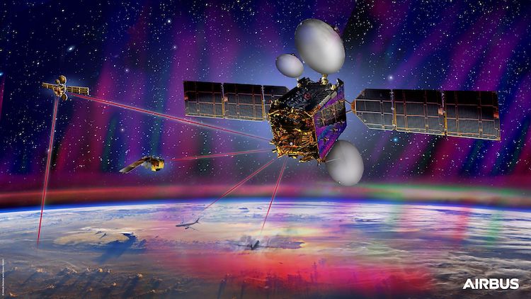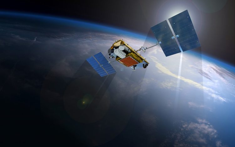

In recent times, the use of satellite imagery has become increasingly important in disaster response efforts. With the progress in technology, satellite data has emerged as a tool for monitoring and analyzing the impact of natural calamities.
Ranging from earthquakes to floods to wildfires, remote sensing through satellites enables real-time monitoring and evaluation of affected regions. This article delves into the role of satellite imagery in disaster response and showcases its advantages and practical applications. [Read more…] about The Role of Satellite Imagery of Earth in Disaster Response