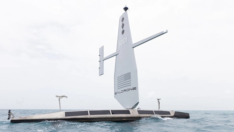
Saildrone, a specialist provider of autonomous deep water mapping solutions, has completed its mission to map the exclusive economic zone (EEZ) of the Cayman Islands, approximately 200 miles south-west of Cuba in the Caribbean Sea, using a Saildrone Surveyor uncrewed surface vehicle (USV).
Over the course of approximately 300 mission days, Saildrone surveyed approximately 90,000 square kilometers of seabed, in depths ranging from 20 meters to 7,000 meters, executing over 900 sound-velocity profile casts to ensure accurate bathymetric data.
One of the priorities of the mission was to survey four fishing banks – 60 Mile Bank, Lawfords Bank, Pickle Bank, and 12 Mile Bank – which serve as crucial hotspots of biodiversity supporting fisheries, tourism, and recreation, and are an indicator of the health of the Cayman Islands’ marine ecosystem. [Read more…] about Saildrone completes pioneering mapping mission of Cayman Islands’ EEZ