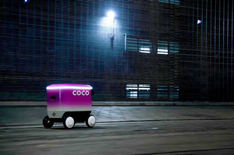
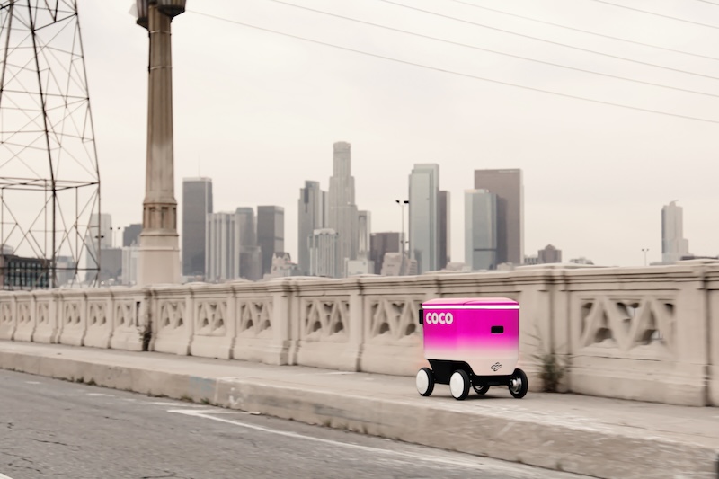
Niantic Spatial has agreed a strategic partnership with autonomous delivery company Coco Robotics. Niantic Spatial will be a core infrastructure partner for Coco, deploying spatial AI and its Visual Positioning System (VPS) to further enhance the company’s advanced robot delivery fleet.
For Coco, the partnership will build on the “great progress” already made in autonomy and safety by setting a new standard for navigation precision in dynamic and complex urban environments.
In return, Niantic Spatial showcases the role of geospatial AI and its Large Geospatial Model as critical infrastructure for robots navigating the real world.
John Hanke, CEO of Niantic Spatial, says: “The promise of last-mile robotics is immense, but the reality of navigating chaotic city streets is one of the hardest engineering challenges.
“We are thrilled to be working with Coco Robotics as our first robotics partner and deploying spatial intelligence to help solve these challenges head-on.”
The engineering teams from both companies will work together to build spatial AI solutions to some of the hardest problems in urban robotics, including maintaining accurate geolocation where GPS fails and increasing overall location precision and navigating accurately, safely, and smartly to pick-up zones.
Zach Rash, co-founder and CEO of Coco Robotics, says: “We’re excited to bring the Niantic Spatial and Coco Robotics engineering teams together in this unique design partnership. It gives us reliable access to localization services that further improve robot navigation.
“Looking ahead, we’ll jointly explore new ways to enable Coco’s robots to operate with increasing safety and autonomy in any city.”
Niantic Spatial will deploy its Visual Positioning System (VPS) to bring a new level of accuracy and reliability to localisation in urban canyons that degrade GPS signal quality or result in a complete loss of signal.
Providing greater reliability, consistency, and scalability than other solutions, VPS enables more precise localization for accurate navigation in high-interaction locations like pick-up points or more complex areas like ones without a curb cut to access the most efficient route.
The new release of the product delivers best in class reliability, flexible data inputs from a wide range of 2D and 3D data sources, and global coverage without pre-scanning.
