Woolpert and Saildrone have partnered to acquire and process bathymetric survey data for the National Oceanic and Atmospheric Administration (NOAA)’s Ocean Exploration and Office of Coast Survey in support of safe navigation and national ocean mapping initiatives, including the National Strategy for Mapping, Exploring, and Characterizing the United States Exclusive Economic Zone and Seabed 2030 initiative.
The Mariana Islands’ strategic location and vast marine ecosystems make it a critical region for monitoring and analysis. The data will be used by NOAA to help enhance its understanding of sensitive habitats, marine geohazards, oceanographic conditions, seafloor composition, and ecosystem management within the US exclusive economic zone in the vicinity of the Mariana Islands. It will also help expand taxonomic reference libraries for understudied marine organisms.
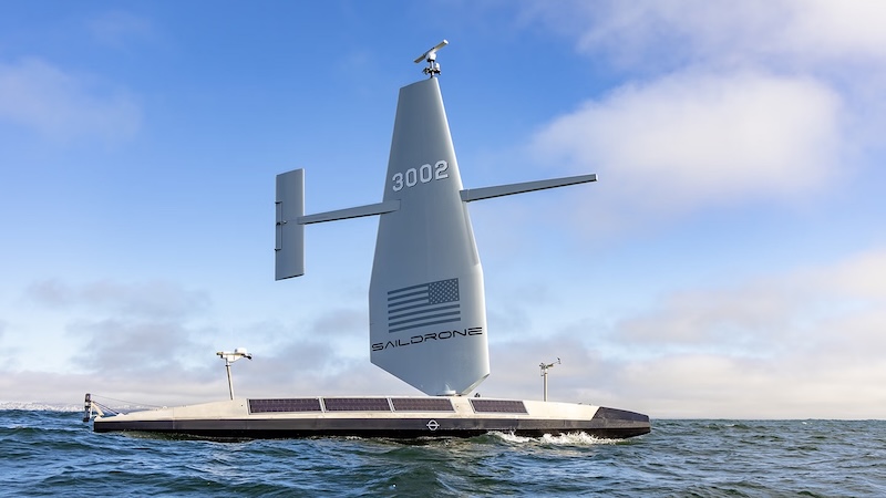
Woolpert, a leading provider of lidar and sonar bathymetry data, was selected by NOAA to map the seafloor off the eastern coast of the Mariana Islands. The firm partnered with Saildrone, which will use a 20-meter Saildrone Surveyor uncrewed surface vehicle designed for persistent maritime intelligence, surveillance, reconnaissance, and deep-ocean mapping. [Read more…] about Saildrone and Woolpert deploy autonomous surface vessel for NOAA seafloor mapping